In the release, it said, ‘A State of Emergency declaration has been issued for all areas of Dare County, effective on Sunday, August 17, 2025, at 6:00 p.m.’
The evacuation directive begins for visitors at 10 a.m. ET on Monday, August 18, while residents must evacuate starting at 8 a.m. ET on Tuesday.
The order covers the entire island, including Rodanthe, Waves, Salvo, Avon, Buxton, Frisco, and Hatteras. Officials advised using westbound Highway 64 toward Interstate 95 to avoid congestion and ensure a safe exit.
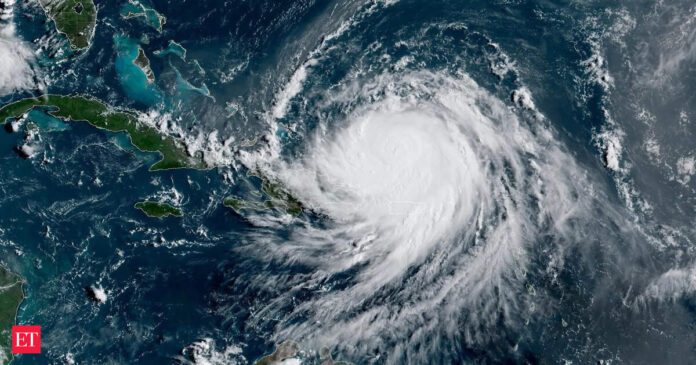
Although Hurricane Erin is forecast to remain offshore, its expanding size is expected to bring life-threatening impacts to the Outer Banks, including severe coastal flooding and high surf, beginning Tuesday.
The National Weather Service has placed the area under a Coastal Flood Watch, warning that ocean overwash and flooding could render portions of North Carolina Highway 12 impassable for several days.A High Surf Advisory is also in effect, with waves of 15 to 20 feet predicted, creating hazardous swimming and surfing conditions along Hatteras Island’s beaches. Officials cautioned that extreme beach and coastal damage is likely, with dangerous waves capable of breaching dunes, flooding inland areas, and causing structural damage to homes and businesses.At 5 p.m. ET on Sunday, the National Hurricane Center reported that Hurricane Erin had maximum sustained winds near 125 mph and could strengthen further as it undergoes an eyewall replacement cycle. The storm is expected to remain a major hurricane through midweek, gradually turning north and generating hazardous surf and rip currents along the US East Coast, Bermuda, and Atlantic Canada.

